
Junction City Neighbor Sources
Public sources describe a Junction City block in layers. The parcel map shows legal geography. A parcel card identifies assessed ownership and property facts. A recorded plat defines lots, blocks, streets, and easements. VoterView checks one eligible voter at a time, while city and group pages offer public civic contacts. None is a complete roster of neighbors.
| Source | What it reveals around a block | Access and limit |
|---|---|---|
| ATCi / ArcGIS map | Parcel polygons, IDs, situs, subdivision, block, lot, and adjacent popups | Public; click one parcel at a time; not a survey |
| Appraiser cards | Owner, mailing and situs fields, value, improvements, inspections, permits | Public cards; not a household roster; some sales detail needs login |
| Recorded plat | Lots, blocks, streets, easements, and adjacent subdivisions | Register of Deeds counter or copy request; no public web index |
| VoterView and CVR | Individual match and polling place; bounded file choices | No public block roster; statutory limits and certification apply |
| Neighborhood Watch | Civic contact and issue-reporting route | Police contact; no member list |
| Greenhills HOA | Public board, meeting, covenant, and contact information | Does not prove that a parcel or person is a member |
| Library CID and GCHS | Groups, old photos, newspapers, yearbooks, and home-history leads | Item and edition specific; not comprehensive |
Choose the source by the question. Use GIS for physical adjacency, a plat for legal lot context, and a public group page for contact. If the goal is a whole named road rather than the lots nearest one address, the Junction City street directory follows that larger record chain.
Define Junction City Neighbors First
The word neighbor can hide several different relationships. Adjacent parcels share a mapped edge. Lots in the same block share plat geography. A shared postal city or ZIP reflects mail routing, not a city boundary. One polling place reflects election administration, not a shared household. An association connection exists only when the group publishes it or the person chooses to confirm it.
- Adjacent parcel
- A lot next to the target on the GIS parcel layer.
- Same block
- Lots grouped under a recorded plat, not proof of social ties.
- Situs address
- The physical location recorded for a parcel, distinct from an owner's mailing address.
- Parcel
- A unit of land with its own record identifier and legal description.
- Plat
- A recorded drawing that lays out lots, blocks, streets, and easements.
Fort Riley makes these labels more important. A 66442 postal address can sit in the military installation context, while Junction City, Geary County GIS, and the postal service may each describe nearby geography in a different way. Verify the custodian and jurisdiction before naming a connection.
Map Junction City Neighboring Parcels
The Geary County ATCi/ArcGIS viewer supports a manual adjacent-parcel method. Research did not find a one-click neighbor export or documented buffer list. That is useful protection against turning a block into a mass person list, and it means every parcel must be checked on its own terms.
- Find the target by address, parcel ID, or Quick Ref. Confirm its situs and legal tract.
- Turn on the parcel or boundary view and note each polygon that shares an edge with the target.
- Click each adjacent polygon. Record parcel ID, situs, subdivision, block, and lot before opening its public parcel card.
- Compare the owner's mailing address with the situs only as an ownership clue. Do not label the parcel owner as an occupant.
- Use a recorded plat or survey when a boundary matters. The GIS display is illustrative and may be out of date.
The process is: one address → target parcel → touching polygons → parcel cards → recorded plat when needed. Do not add household members from unrelated sources.
What Junction City Parcels Prove
A Geary parcel card may show owner name, owner mailing address, situs, parcel ID, Quick Ref, tax year, class, zoning, neighborhood code, tract description, improvements, inspection history, public permit facts, value, and some sale data. It is strong evidence about the assessed parcel. It is weak evidence about the people who currently live there. No public homestead or owner-occupied flag was verified in the sample.
The map also does not settle a boundary dispute. County guidance treats GIS as a tool to see and study relationships, while the ATCi disclaimer warns that data may be dated and is not a legal survey. A recorded plat, deed, or survey controls the legal question. For current parcel help, contact the Appraiser at 785-238-4407 or GIS at 785-530-6093 and GIS@gearycounty.gov.
Key distinction. A matching mailing and situs address may suggest owner occupancy, but it does not prove every resident or rule out other occupants.
Junction City Community Contacts
Local groups add a civic layer without creating a resident roster. The research found one named neighborhood association, a city Neighborhood Watch route, and a broad library directory. No complete official list of all Junction City neighborhood associations was located.
| Civic layer | Verified Junction City contact | Public boundary |
|---|---|---|
| Greenhills HOA | Contact page; 675 Bittersweet Drive | Board, meeting, covenant, dues, and contact material; no public member roster found |
| Neighborhood Watch / Community Policing | City Who to Contact; Police 785-762-5912 | Civic issue route, not a list of participating neighbors |
| Community Information Directory | Dorothy Bramlage Library; print and PDF | More than 350 local and regional groups since 2007, not household membership |
| Geary County Historical Society | Research Center, 530 N Adams Street | Dated organization, photo, newspaper, and home-history leads |
Contact an association to ask about its service area, open meetings, covenants, or current public contact. Never infer membership from a parcel address. Search the library directory by neighborhood, school, church, service club, or street, then confirm the current contact with the group.
Greenhills Adds a Civic Layer
Greenhills HOA is a verified Junction City neighborhood lead. Its public contact and meeting material can connect a resident with board or covenant information, yet the site does not supply a public member directory. A lot near Greenhills, an address in the subdivision, and association membership are three different claims.
The Greenhills contact page is shown in the assigned Junction City capture.
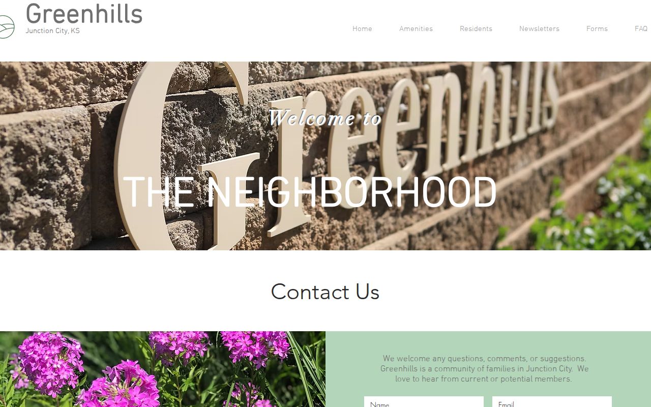
The public page is best used to reach the group or check public meeting facts. It should not be mined to infer the names of neighbors.
Recorded plats can answer whether lots share a subdivision or block. The Register of Deeds holds those plats, while county planning and GIS can explain current development layers. A social tie still requires a direct or published source.
Junction City Neighborhood Watch Route
The city's Who to Contact page sends Community Policing and Neighborhood Watch questions to the Police Department. The public capture preserves that civic route.
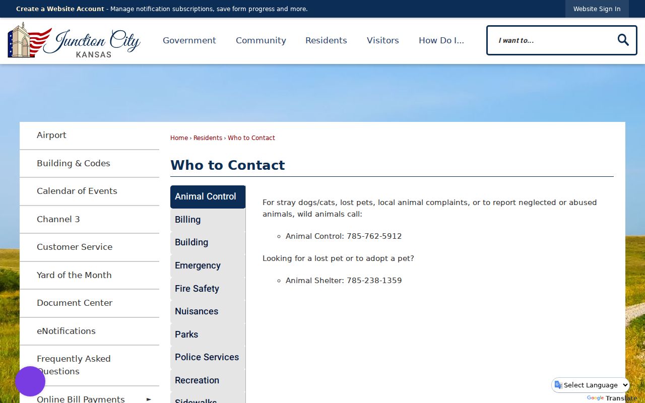
Call 785-762-5912 about a watch program or community policing concern. The route does not publish participant names, and absence from a public page says nothing about whether a block is active.
The broader Junction City Community page supplies official calendar, history, and resource context.
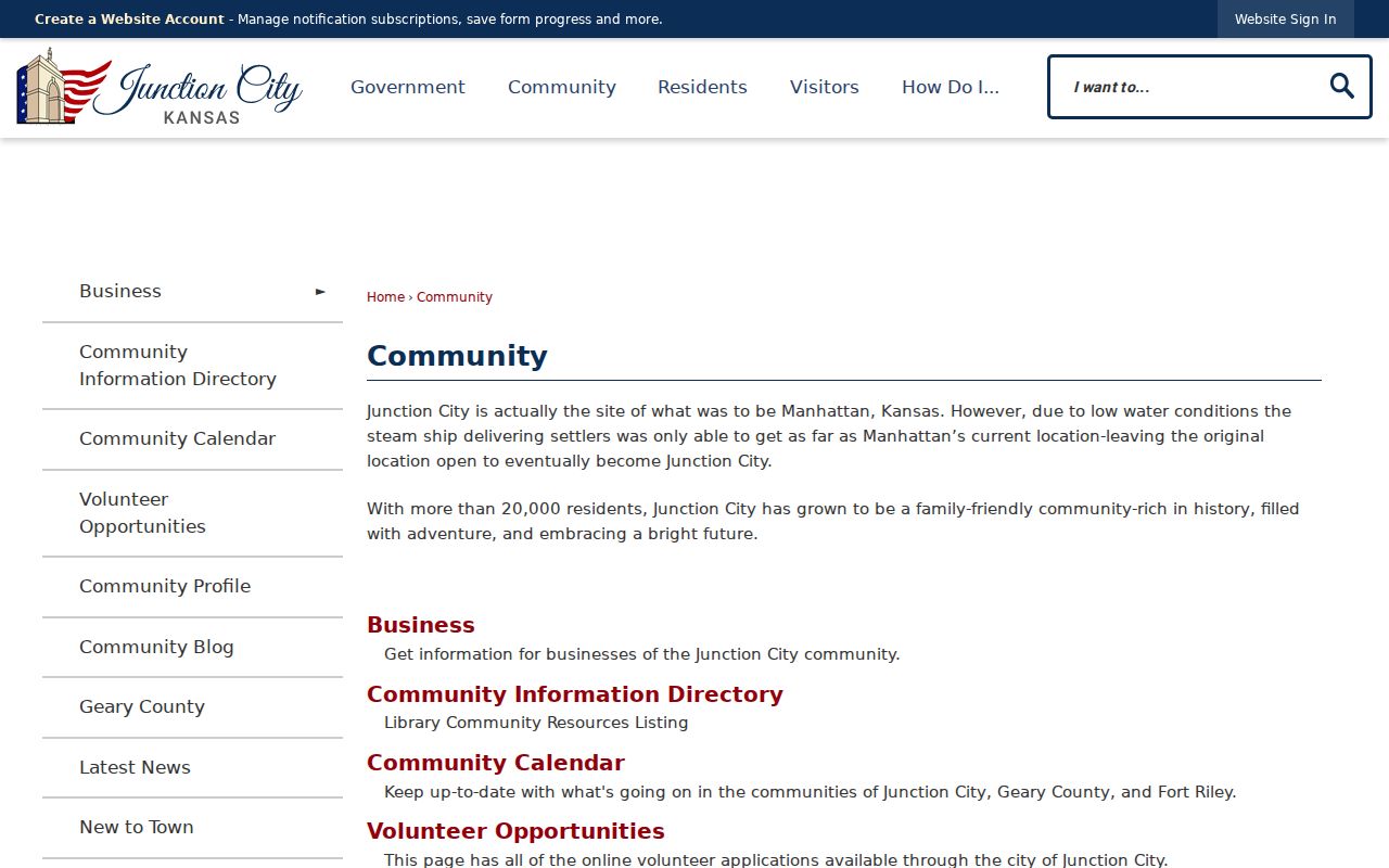
Use it to locate public events and departments where neighbors meet in the open, not to construct a household directory.
Kansas Voter Data Is Not Neighbors
Kansas VoterView asks for first name, last name, date of birth, and reCAPTCHA. For an eligible match it may present address, party association, mail-ballot status, polling place, and registration or voting-history links. It does not offer a public block roster. A shared polling place can cover a wider district and does not prove that two people live on the same street.
The statewide CVR request has district, party, and list choices, a fee, and a commercial-use certification. Kansas law removes driver's-license and Social Security data and restricts use of registration lists under K.S.A. 25-2320 and 25-2320a. Do not use that process to assemble a page of adjacent people. For election questions, the Geary County Clerk/Elections office is at 200 E 8th Street and can explain the proper access channel.
Note: A polling place is an election service point, not a geographic definition of who counts as a Junction City neighbor.
Official vs Commercial Neighbor Tools
Official records and commercial search tools answer different questions. Public agencies publish records tied to a legal duty and explain the keeper, fields, and correction route. Commercial tools merge data from many sources and may hide their dates or matching logic. Neither should be treated as a live household roll.
| Feature | Official Junction City or Kansas source | Commercial search category |
|---|---|---|
| Parcel adjacency | Visible in Geary GIS, one parcel at a time | May estimate a radius without legal parcel context |
| Owner identity | Appraiser card with parcel identifiers and custodian | May blend owner, occupant, or old address data |
| Correction | Ask the named office about its source record | Varies by provider and source |
| Freshness | Dated tax year, filing, or portal record | Source date may be unclear |
| Best use | Verify one specific public fact | Discovery lead that still needs official proof |
Begin with the official map or record that owns the fact. If a commercial result conflicts, do not repeat the claim. Check the parcel ID, date, and custodian, or ask the person directly.
Privacy for Junction City Neighbors
Renters, children, guests, household members, utility customers, and delivery recipients do not become public merely because a parcel is visible. Kansas Safe at Home provides eligible survivors with a substitute address and mail forwarding. Government records may also redact or withhold protected details. A missing or conflicting address is not an invitation to combine voter, court, parcel, and newspaper clues until a private location appears.
Lawful use. Look up Junction City neighbors for civic contact, block history, reconnecting, or personal safety awareness. Never watch, threaten, intimidate, harass, or expose a person.
Use the least data needed. Share a public association phone number instead of a member's address. Report a concern through the city's civic route. For a parcel dispute, use the survey and recorder. Good block research keeps people safer by maintaining those boundaries.