
Junction City Past-Address Sources
No single roll names all previous residents. Junction City research starts in the present and steps back through sources with different kinds of proof. The Geary County Appraiser ATCi search supplies a parcel ID, Quick Ref, situs address, tract description, and sometimes a sale book and page. The Register of Deeds links recorded owners through office indexes. Occupancy needs separate checks.
| Source | Period represented | Keeper or access point | Evidence found |
|---|---|---|---|
| Parcel card | Current and prior tax years where available | Geary Appraiser / ATCi | Owner, situs, parcel ID, legal tract, improvements, sale references |
| Deeds and land indexes | 1800s through current filings | Register of Deeds counter | Grantor, grantee, legal description, book/page, transfers |
| Directories | Catalog leads for 1905, 1912, 1959, 1961 | Library, GCHS, KSHS, FamilySearch | Dated names, addresses, trades, firms, or telephone listings |
| Kansas census material | State censuses 1855-1925 | KSHS and FamilySearch | Household and residence on one census date |
| Sanborn maps | Verified editions 1885-1925, with updates | KU and Library of Congress | Street, lot, footprint, construction, use context |
| Newspapers and home files | Local holdings from 1861 onward | Library and GCHS | Transfers, obituaries, notices, photos, local context |
For a recent address, begin with the parcel card and deed chain. For an early home, add a Sanborn sheet, census image, and directory entry. For a nineteenth-century tract, search under Davis County too. Only an image or office copy shows what the source said.
Start Junction City Address History
The current parcel is the bridge between a street address and deed language. An ATCi card may display the parcel ID, Quick Ref, situs and mailing addresses, tract description, subdivision, block, lot, sale date, and book/page. Save those fields exactly. A modern street number can fail in an old index, while a legal description can survive a number, spelling, or postal change.
The Junction City SmartGov parcel search provides parcel-number, address, and owner-name entry points.
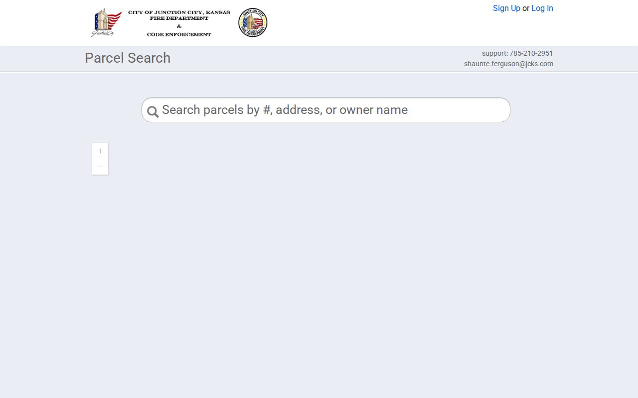
The captured form is a current access aid, not a historical owner list. Carry its parcel number and legal wording to the county records that preserve transfers.
Note: Situs means the parcel's physical location; an owner's mailing address may be somewhere else and does not prove occupancy.
Geary Deeds for Previous Residents
The Geary County Register of Deeds says its records are not in a public online index. The office at 200 E 8th Street can inspect name, numerical land, direct, indirect, and miscellaneous indexes. Call 785-238-5531 about access, but give the legal description, names, date span, and known book/page.
- Copy the current parcel ID, Quick Ref, legal description, block, lot, and sale reference.
- Ask staff to locate the newest deed by legal description and owner. Read its grantor and recording data.
- Search that seller as a grantee to find the prior purchase. Check plats, corrections, releases, and adjoining descriptions.
- Repeat backward. Use Davis County terminology for records before the 1889 county rename.
- Log each instrument, then compare owner dates with directories, censuses, and newspapers.
- Grantor and grantee
- The grantor transfers an interest; the grantee receives it.
- Chain of title
- The linked series of recorded transfers for the same land.
- Legal description
- Lot, block, subdivision, tract, or survey words that identify land better than a postal address.
- Book and page
- The recorder citation used to retrieve an instrument.
Junction City Recorder Access Myth
Office digitization does not mean web access. Geary material describes public computer data from about 1992 and imaging from June 17, 2002, yet the Recorder still states that there is no public online access. These dates describe office layers. They are not the start of a web deed index and do not show that every early instrument has an image.
Best first request. Use the parcel card to recover the legal description, then ask for tract and grantor-grantee index help. A broad request for everyone tied to an address asks staff to create a list.
An office visit is the best path. If travel is not possible, call first. The county KORA request form can seek named existing records by inspection, pickup, mail, fax, or email. KORA does not require a new previous-residents report.
Davis County Names Unlock Records
Geary County was Davis County from 1855 until March 7, 1889. That old name is a practical search key. The Recorder FAQ points to 1800s land records and early federal patent deeds. The Kansas Historical Society Geary collection, spanning 1852-1984, also uses land-lot, church, election, and microfilm terms.
For an 1860s Junction City tract, ask for both county names. A modern parcel ID will not map cleanly to an early patent description. Copy the old wording, then compare later deeds and plats.
The KSHS collection page presents the institutional path to these sources.
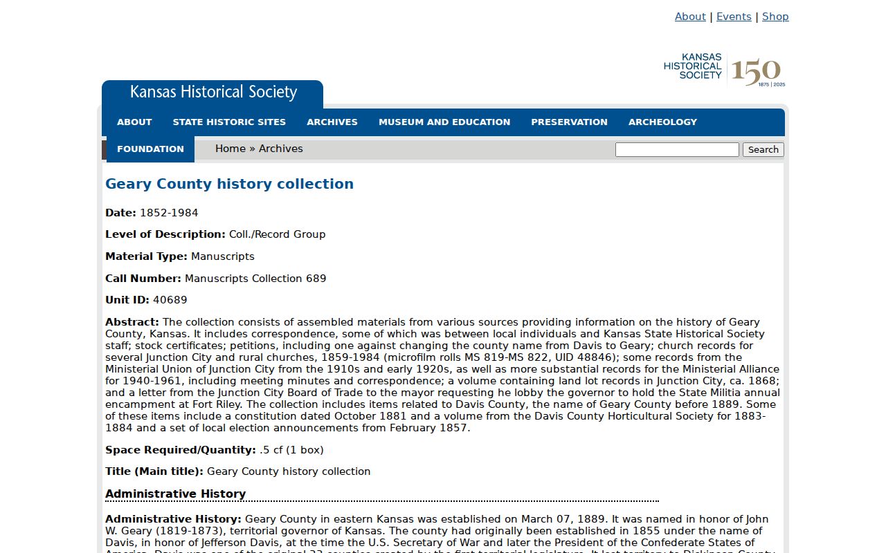
Its finding aid broadens the search beyond a current owner and points toward land, local government, church, and election series.
Junction City Sanborn Address Clues
Sanborn maps date the setting around an address. Verified Junction City editions include 1885, 1887, 1892, 1897, 1905, 1912, 1925, and 1925-1947 updates. A sheet can show streets, lots, footprints, materials, additions, and use labels. It cannot name previous residents and is not a deed.
The KU 1912 Junction City set has fourteen sheets. Record the date, sheet, street, and building label.
A footprint match supports building continuity only. Pair it with a record that names a person. Junction City numbering starts at First and Washington, but no historical conversion table was found. Keep old and current address forms apart.
Junction City Past Household Trail
A deed proves an interest, not who slept in a home. Align each owner interval with a dated directory or census observation. Catalog leads exist for Junction City directories dated 1905, 1912, 1959, and 1961, but no complete run or open sample was verified. A catalog record proves an item exists, not a resident's address.
- Put confirmed deed transfers on a timeline.
- Search the nearest directory by surname and address when a reverse section exists.
- Compare that entry with a Kansas or federal census image.
- Check the next directory year for a move or household change.
- Use dated newspaper transfers, obituaries, and probate references to explain endpoints.
The Junction City city directories page covers the collections. Here, cite the exact volume, year, page, and entry examined.
- Criss-cross directory
- A volume arranged by street or phone number.
- Enumeration district
- The area assigned to a census taker.
- Occupancy lead
- A dated hint of residence that needs another source.
Census Paths to Previous Residents
The KSHS census indexes lead to state census material from 1855 through 1925 and printed street indexes at the research center. The 1905 census has indexed images on FamilySearch. A census observes a household at one point; it does not prove title.
The captured page shows the year-based institutional access route.
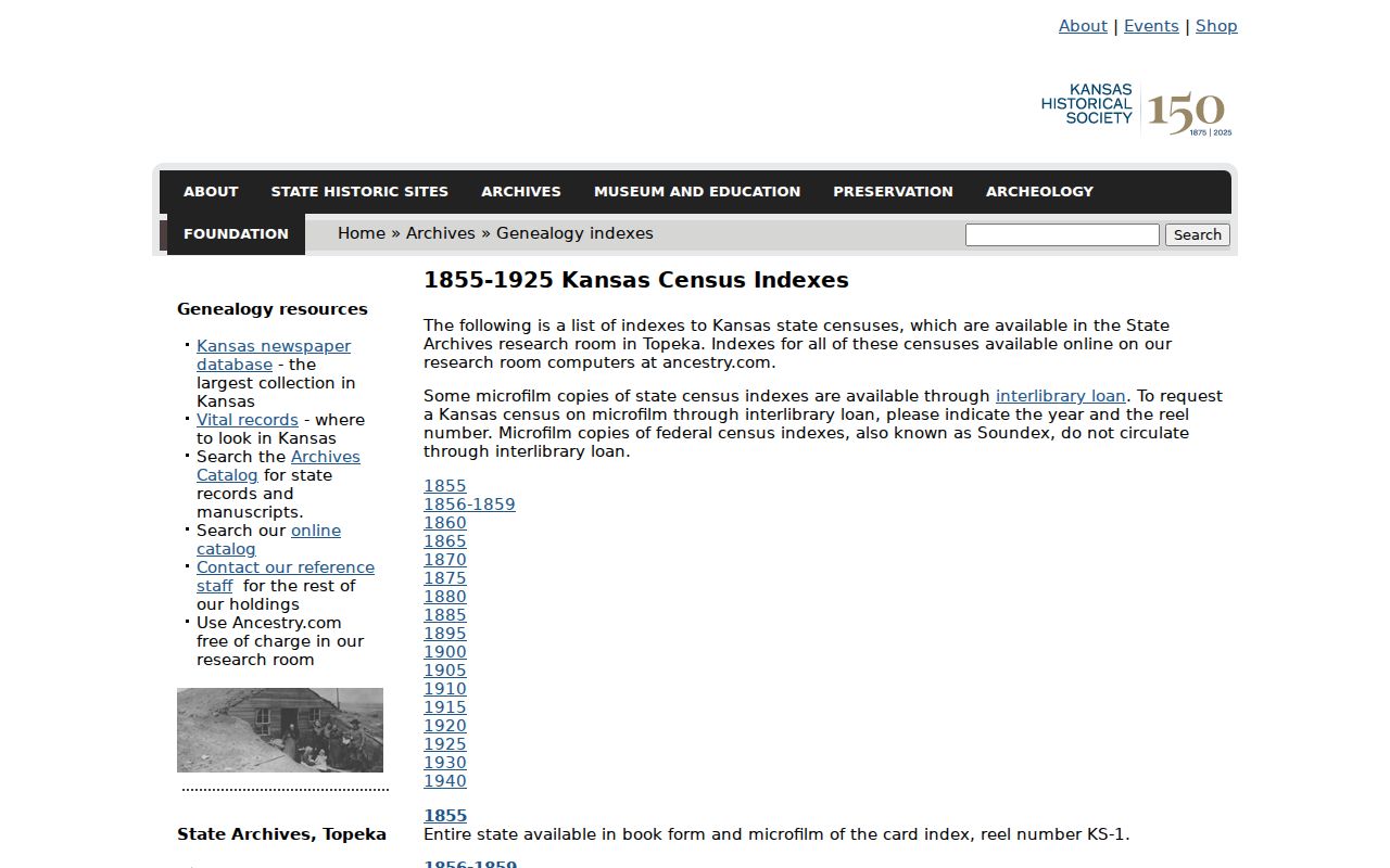
If an address search fails, try surname, ward, township, or enumeration district, then inspect adjacent image lines. Preserve spelling variants. Fort Riley may appear in a separate federal or military context.
Local Help With Junction City Homes
The GCHS Research Center at 530 N Adams Street offers home-history, obituary, newspaper, organization, yearbook, photograph, and genealogy leads. Its holdings are not complete, and it sends previous-owner work to the Recorder. Give the exact address, year range, former surname or firm, and the exact question. Ask for item, date, and source.
Dorothy Bramlage Public Library, 230 W 7th Street, has reference help at 785-238-4311 and a Community History collection. Newspapers run from 1861 onward, with several titles and yearbooks online. Search transfer notices, obituaries, school pages, and group news by date. GCHS also reports more than 10,000 photos, including images from the 1860s, but a caption still needs an independent record before naming past residents.
Use Previous Residents Records Carefully
Do not publish owner mailing addresses, buyer details, or protected address clues. Kansas Safe at Home gives eligible survivors a substitute address and mail forwarding. If records conflict in a way that may reflect protection, stop trying to triangulate a living person's location and ask the custodian how to read the public record.
Lawful use. Research previous residents for property history, genealogy, estate work, or personal curiosity. Never use a record trail to watch, threaten, harass, or harm a living person.
Keep fact and inference apart. A deed names transfer parties. A parcel card names an assessed owner. A census observes a household. A map shows structures. Report each claim with its source.